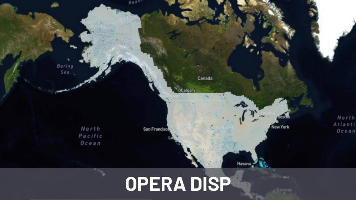
Analysis of landslides occurred in Joshimath, India

Analysis of Landslides occurred in Joshimath, India

Joshimath is located at an altitude of 1,890 meters in the Chamoli district of Uttarakhand, India. This town, situated on the slopes of the Himalayas, is bordered by the Dhauliganga and Alaknanda rivers and is located on terrain composed of silty-sandy deposits mixed with gneiss and schist deposits. In Joshimath, a severe process of land …

Read more

European Ground Motion Service - EGMS

European Ground Motion Service: Continental-Scale Deformation Monitoring

In November 2022, the Copernicus Land Monitoring Service (https://land.copernicus.eu/), managed by the European Environment Agency (EEA, https://www.eea.europa.eu/), published the first map of ground deformations using InSAR technology on a continental scale. EGMS is unprecedented. It is the first time we have had a service for monitoring deformations on a continental scale, and Europe is the …

Read more

Geometric distortions of Synthetic Aperture Radar images

Radar remote sensing technology has revolutionised the way we perceive and understand our world. But similar to other remote sensing sensors a radar system also has its unique set of challenges when it comes to creating accurate images. SAR data can be a bit distorted because of how the sensor works, especially in rough terrains …

Read more

Land subsidence: causes, effects, real examples, prevention and monitoring

Subsidence affects millions of people around the world. Places such as Jakarta in Indonesia or Mexico City suffer severe and progressive land subsidence processes mainly due to the overexploitation of groundwater. In Spain, the overexploitation of the Guadalentín aquifer (Murcia) generates the highest rate of subsidence in Europe, reaching values of 11cm/year. Detecting and monitoring …

Read more

PS-InSAR & DS-InSAR algorithms: permanent and distributed scatterers

SAR sensors make use of different frequency bands for data collection. Each of these band offers its own characteristics and possible applications. Combining data provided by SAR sensors with InSAR technology is possible to detect ground and infrastructure movements with millimeter accuracy. In many cases, InSAR technology requires complex algorithms in order to generate accurate …

Read more

synthetic aperture radar sar

SAR Synthetic-Aperture Radar

In this article you can find what synthetic aperture radar or SAR technology is, its importance and available data sources. You will also find details about what it is used for as well as available bands and their main characteristics. What is synthetic-aperture radar (SAR)? Synthetic Aperture Radar (SAR) is a type of sensor radar …

Read more

Vipe project

VIPE project: monitoring the vulnerability of port infrastructure from space

Two spin-offs of the Polytechnic University of Madrid: Detektia, experts  in  infrastructure  control  using satellite  RADAR technology, and Deep Insight, experts  in  the  development  of  integrated  services  for  port risk management, asked themselves: The answer is YES and the VIPE project (monitoring the vulnerability of port infrastructure from space) is the appropriate tool to answer …

Read more

INSAR Interferometric synthetic-aperture radar

InSAR technology is capable of measuring ground deformations with extreme precision using data from satellites, orbiting hundreds of kilometers high up in the sky. It seem science-fiction to detect movements of a few millimeters from space, but that’s how it works. If you are a civil engineer, geo-technician, geologist, or if you are involved in …

Read more