
Control and monitor infrastructures with EyeRADAR: bringing satellite technology to the civil engineering sector
Receive continuously metrics and early alerts of millimetric deformations on dams, tunnels, embankments and ports.
Start using EyeRADAR to monitor your civil engineering infrastructures
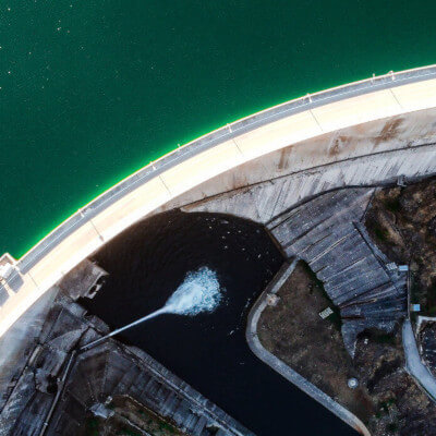
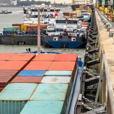
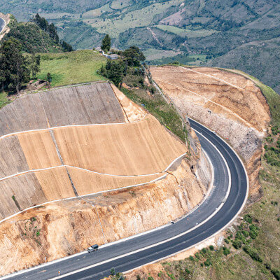
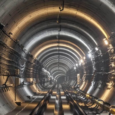
What kind of civil infrastructure can you manage using this tool?
Why should you integrate satellite data into the deformation control process and how can EyeRADAR assist you in this process?
We are at a paradigm shift moment
Controlling deformations of large civil engineering projects solely with topographical campaigns and in-situ instrumentation is neither technically nor economically viable. We need to incorporate new data sources that allow us to more efficiently and safely manage our infrastructures. Sensors aboard satellites produce daily high-quality and high-resolution data. This information, combined with on-site measurements, will change the way we observe, manage, and operate our infrastructures.
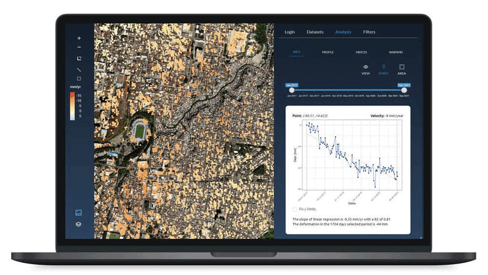
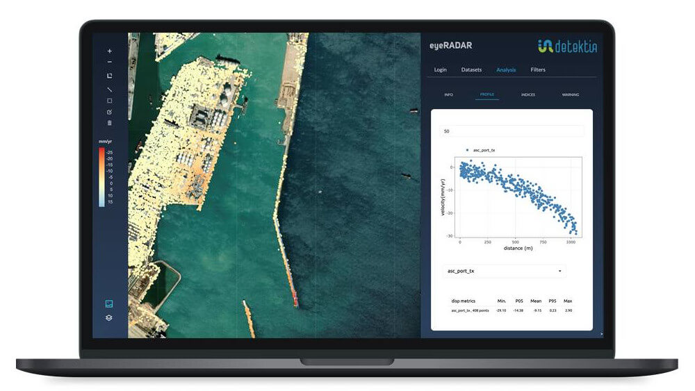
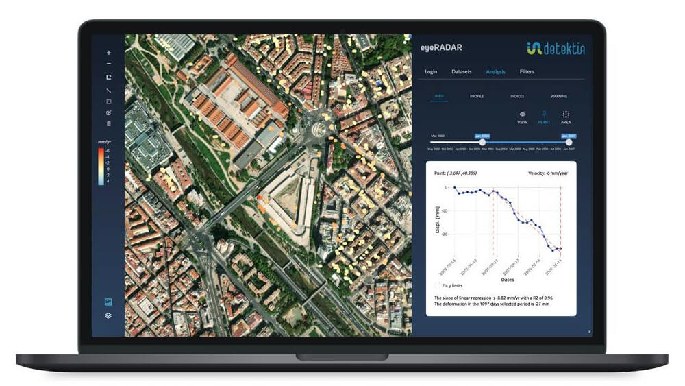
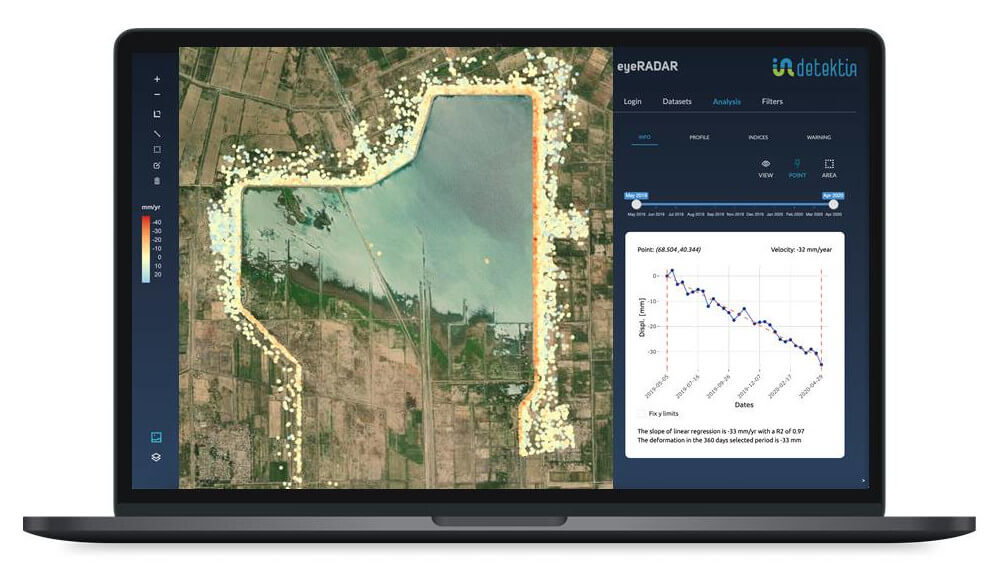
EyeRADAR incorporates satellite radar technology into the civil engineering sector, providing infrastructure managers with continuous metrics and early warnings for millimetric deformations.
Early warnings, much more than just data!
Early detection of anomalous deformations is key for making quick, data-driven decisions. EyeRADAR automatically identifies trend changes in deformation velocity, unexpected movements, accelerations of motion, and more… Infrastructure managers receive prioritized alerts classified by their level and degree of impact.

EyeRADAR goes a step further in using InSAR technology in the civil engineering sector. EyeRADAR transforms the vast amount of information provided by InSAR technology into alerts and metrics that positively impact decision-making.
EyeRADAR’s AI layer allows for automatic and objective identification of when, where, and how intensely an unexpected deformation process is occurring. Infrastructure managers can focus on what’s really important. EyeRADAR sends alerts that enable informed and early decision-making at any stage of the infrastructure’s life cycle.
Can we help you?
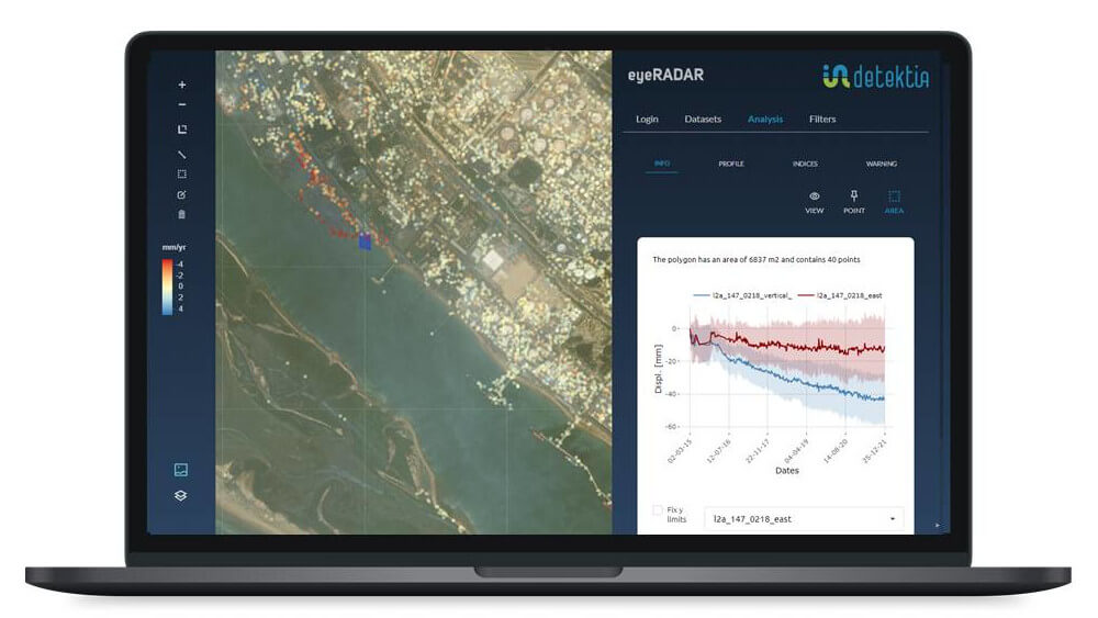
On-site & satellite integration
At Detektia, we are convinced that integrating diverse data sources is the key to having genuine and comprehensive control over an infrastructure’s deformation processes. Having a dual verification, accessing deformation data where on-site instrumentation can’t reach, possessing historical data on the ground’s behavior or an asset before there were topographical campaigns or instrumentation, is crucial for infrastructure managers.
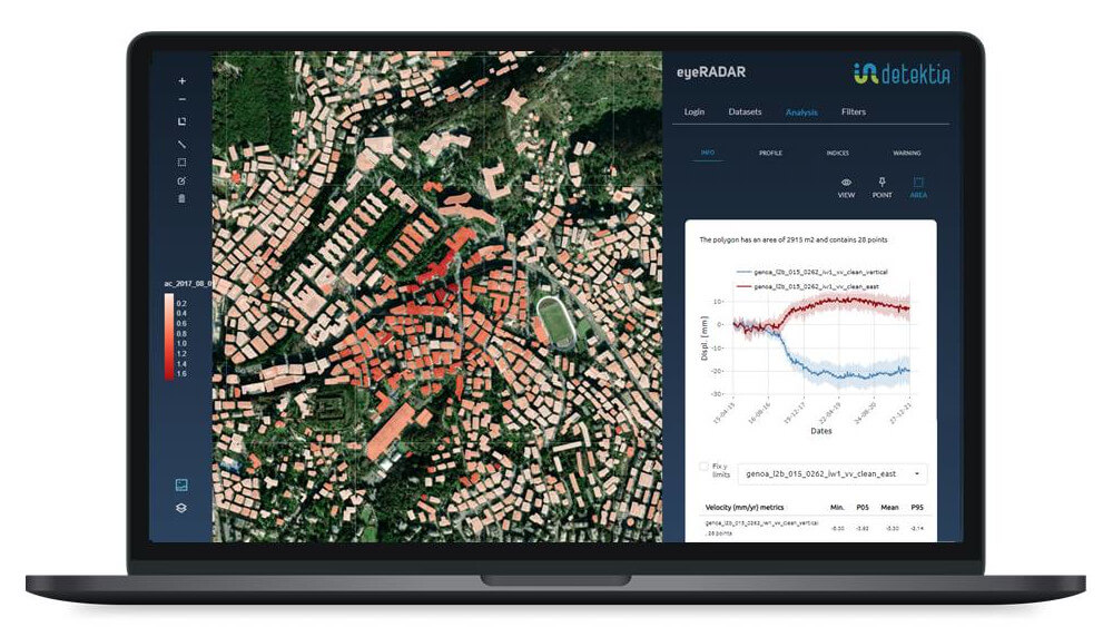
EyeRADAR is specially designed to integrate on-site information: topographical campaigns, GNSS data, inclinometers, piezometers, accelerometers… Everything coexists in the same database and is integrated and analyzed all together in EyeRADAR.
Integrate DInSAR data into any platform with EyeRADAR´s API
EyeRADAR not only integrates and analyzes diverse data sources. You can do it in your own software. Thanks to EyeRADAR’s API, any software can easily integrate InSAR data, metrics, and early warnings.
If you already have geotechnical or infrastructure management software, you can leverage the potential of EyeRadar’s API. Any software (GIS, BIM, Digital Twins…) can benefit from all its capabilities without leaving your own tool. Without a learning curve, manage EyeRADAR alerts and results directly from your own software.


Combine EyeRADAR with the full potential of a GIS
Detektia’s QGIS plugin allows you to work with all the information from EyeRADAR within QGIS, the leading Open Source Geographic Information System. If you’re already a QGIS user, you can combine the power of a GIS with all the features of EyeRADAR.
Analyze deformations in 3D alongside LiDAR point clouds, and combine advanced site information (geology, work units, structural elements…) with the metrics and alerts generated by EyeRADAR.
DInSAR data, metrics and alerts in your pocket
With Detektia’s new mobile app, you can analyze deformation alerts right from the location where they’re occurring. You can install the application for Android devices for free.


EyeRADAR dashboards
Ensure the entire team has access to the same information.
EyeRADAR’s dashboards allow for tracking specific aspects of an infrastructure, area of interest, or deformation process. Detektia’s Machine Learning layer, combined with EyeRADAR’s database, access to meteorological APIs, and other data sources, enables the creation of dashboards with specific objectives in an efficient and agile manner.
Want to request a demo?
Write us!
This is what our customers have to say about EyeRADAR

Frequent asked questions
Do I need to install any software to use EyeRADAR?
Not at all! You just need an internet connection and a web browser.
Can I know the historical behavior of a specific area or infrastructure?
Of course you can! We use archival radar images to reconstruct the historical behavior of an infrastructure.
Can I integrate EyeRADAR with my own software?
Yes, we have implemented an API that allows you to easily integrate all the information into any other software (GIS, BIM or Digital Twins).
In addition to alerts, do I have access to deformation time series?
Of course you do! Historical and updated deformation time series, structural health indices of buildings and infrastructures, areas of similar behavior… Everything is available in your area of interest.