Bringing satellite data to decision-making in the infrastructure sector.
Detektia transforms the enormous volume of information provided by satellites into easy-to-interpret data supporting decision-making in the entire digital management processes of an infrastructure.
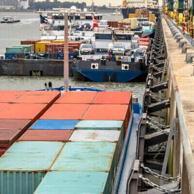
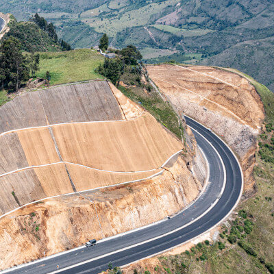
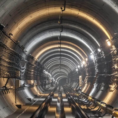
Our solution is adapted to each type of infrastructure.
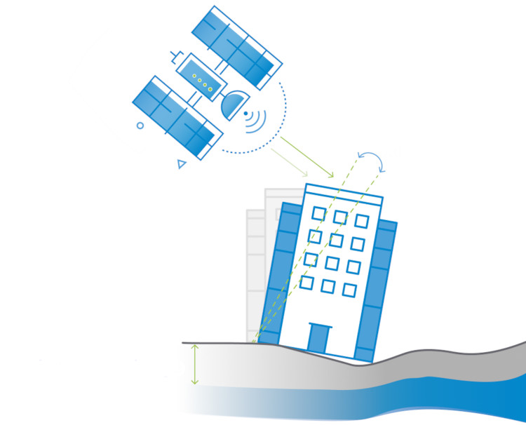
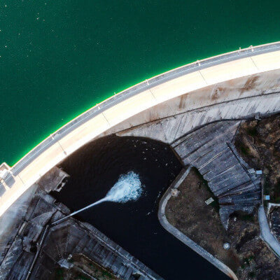

Providing satellite-based early warnings into the infrastructure’s client information systems will revolutionize the decision-making process in the preventive management of an asset. The number of assets and areas to monitor is growing in an increasingly digitalized sector and it is not feasible to monitor movements in all urban or non-urban infrastructures solely with systems that require instrumentation on the ground.
How can we help you?
We support engineering & construction companies in their decision-making in all phases of the infrastructure lifecycle taking advantage of satellite RADAR technology and Artificial Intelligence
MILLIMETER ACCURACY
We generate historical time series of ground and infrastructure movements with millimeter accuracy.
CONSTANT UPDATES
Movement measurements are updated as often as satellites acquire an image (from few days to weeks, as it is needed).
NO GROUND INSTRUMENTATION
Validated DInSAR ability to detect and measure small millimeter variations on any surface without the need for ground instrumentation
HIGH POINT DENSITY
We obtain an exponential increase of control-point densities compared to traditional monitoring methods.
ONLINE ACCESS
EyeRADAR is a customized web platform that analyzes the historical-and-updated deformation results in a visual and dynamic way, offering customized indices that facilitate the objective interpretation of the results and decision making.
HISTORICAL MONITORING
Historical deformation time series can be generated since the early 1990s, which holds great value to characterize the terrain before the construction phase of the infrastructure begins.
EyeRADAR: digital control of infrastructures from space
Knowing the geotechnical behavior of the ground before undertaking new works or during the construction and operation of an infrastructure is vital to reduce incidents and increase the safety and resilience of the asset.
Contact us!
About Detektia
Detektia is a spin-off of the Topography and Geomatics laboratory of the ETSI Caminos, Canales y Puertos of the Universidad Politécnica de Madrid. Our team has more than 35 years of experience in applied research in ground and infrastructures control, and a broad vision of the energy, environment, water and civil engineering sectors.
Detektia is currently working in large civil engineering projects in North America, South America and Europe. Detektia has been recognized with international awards such as the Global Infrastructure Hub’s “InfraChallenge” 2021 competition, supported by the G20 in the search for solutions that increase infrastructure resilience, and winner of the downstream category of the European Space Agency “Global Space Market” 2021 Challenge.
Do you want to keep up to date with all the news?
Subscribe to our newsletter and stay informed of all the news about our next InSAR course applied to the civil engineering sector. You can also take a look at our blog, where we share free scientific and training articles.

European Regional Development Fund
A way of making Europe
Detektia SL in the framework of the ICEX Next Program, has been supported by ICEX and co-financed by the European ERDF fund. The purpose of this support is to contribute to the international development of the company and its environment.


Awards


We collaborate with