
InSAR technology is capable of measuring ground deformations with extreme precision using data from satellites, orbiting hundreds of kilometers high up in the sky. It seem science-fiction to detect movements of a few millimeters from space, but that’s how it works.
If you are a civil engineer, geo-technician, geologist, or if you are involved in any phase of the life cycle of a large infrastructure (planning, design, construction or operation) you should know InSAR technology or at least the most basic capabilities of it.
Those who are responsible for the management or control of groundwater exploitation; managers or operators of linear infrastructures, dams, bridges, tunnels, mines, hydrocarbon extraction sites, experts in earthquakes, plate tectonics, volcanoes… should also know and integrate this incredible technology in their daily work.
In this article we would like to introduce you to InSAR. We also focus on the meaning of some technical terms as well as on the potential offered by this technology in the infrastructure sector.
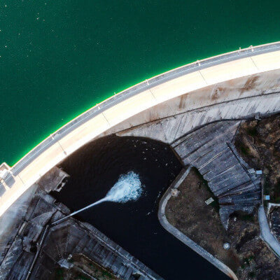
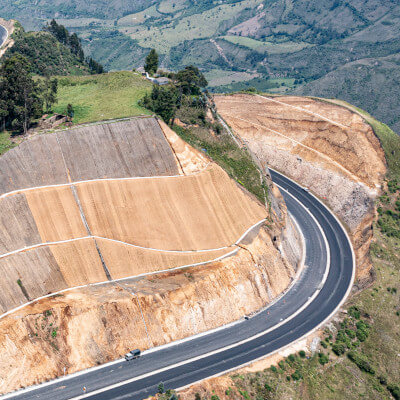
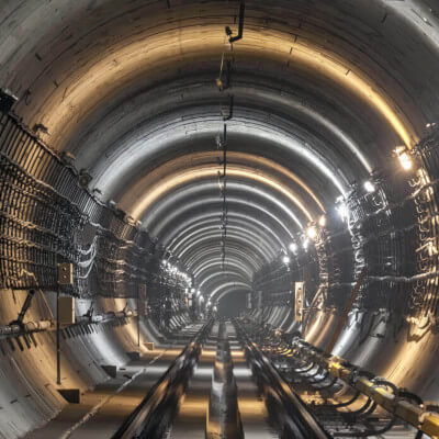
We specialize in InSAR technology and how to take advantage of it to continuously monitor following infrastructures:


If you want to learn more about the technical side and operation of this technology, we suggest you to continue reading this content. If, on the other hand, you are interested in applying it to continuously monitor any infrastructure or surface, you can access the sections linked above or contact us.
Important: To make use of the information provided by satellite data, it is not essential to have an in-depth understanding of the complex technology that enables it. However, it is beneficial to have a basic comprehension of certain aspects in order to understand the results obtained, such as the quality and accuracy of the data or the direction in which InSAR measures movements and deformations.
What is InSAR?
Interferometric Synthetic Aperture Radar (InSAR) uses information from Synthetic Aperture Radar (SAR) sensors. These active sensors emit electromagnetic pulses in the microwave spectrum, operate both day and night, and are capable of penetrating clouds.
InSAR is the acronym for Interferometric Synthetic Aperture Radar.
A lot of applications only focus on the amplitude of the signal that is sent back to the sensor and tend to overlook the phase information of the wave. However, interferometry-based techniques make use of this phase information of the backscattered radiation. In case you are not sure what the phase of a wave is, there are plenty of online resources available to help you refresh your memory quickly.
What are interferograms?
Interferograms are maps or images generated by calculating the phase differences between two satellite images taken of the same area of the Earth’s surface at different points in time. This technique helps to visualize changes that may have occurred during that time period.
An interferogram could be defined as the difference phase between two images that were taken at different dates but on the same location.
The goal of an interferogram is to generate displacement maps and digital terrain models (DTMs), also known as elevation maps of the terrain.
What is DInSAR?
Basically DInSAR is exactly the same as InSAR. There are several names used to describe this technology, and it’s important to be able to recognize them.
InSAR is the most general term and includes everything. Sometimes, when more advanced InSAR techniques are discussed, terms like Differential Interferometry Synthetic Aperture Radar (DInSAR) or Multi-Temporal InSAR (MT-InSAR) may be used.
DInSAR is the acronym for Differential Interferometric Synthetic Aperture Radar.
InSAR is sometimes used when only two-date images are used, while DInSAR or MT-InSAR refers to more advanced techniques that use long series of images. However, this is not always the case, and InSAR is a generic term that encompasses everything. In this post, we use both terms interchangeably.
How is DInSAR technology used in the civil engineering sector?
We have seen that by calculating the phase differences between two images of the same area but taken at different times, we can generate maps called interferograms. However, we have not yet explained their real-world applications or usefulness in our industry.
By using series of interferograms, we can infer the displacement or deformation of the ground surface over time. To minimize errors and separate the deformation signal from other signals, long time series of interferograms are used.
This allows for early and completely remote detection of any deformation that may occur in infrastructure such as bridges, dams, tunnels, slopes, or ports.
DInSAR technology helps on the early detection of any anomalous deformation of any infrastructure. It helps improving and prioritizing preventive maintenance as well as reducing maintenance costs.
DInSAR technology allows for early detection of any anomalous deformation in infrastructure, which improves and prioritizes preventive maintenance of assets, reduces costs, and prevents incidents. It is also used to detect land subsidence caused by continuous water extraction from aquifers, which can also affect surface infrastructure.
If you want to learn more about the potential of this technology, you can see how Detektia uses it to provide structural health monitoring solutions on infrastructures and to facilitate ground movement monitoring. It is recommended to work with long time series to avoid possible errors in the results.
It is recommended to work with long time series to avoid possible errors in the results.
Advanced InSAR techniques, such as Persistent Scatterer Interferometry (PSI) or Small Baseline Subset (SBAS), use multiple images acquired in the same location, generating a large number of interferograms, and including a processing flow that allows separating the deformation signal of interest from other observation components, such as residual topographic error, atmospheric error, or orbital error.
In which direction does InSAR measure deformations?
The sensor on board the satellites illuminates the same area in its upward pass (when the satellite travels from south to north) as in its downward pass (when it travels from north to south).
The figure below shows how the same area can be viewed from these two different viewpoints (upward geometry and downward geometry).

The sensor emits the pulses in a one-side-looking geometry, in contrast to the zenith view of optical sensors on earth observation satellites. The measurements made with InSAR technology are one-dimensional, i.e. they measure the movements on the line connecting the satellite to each observed point (LOS, line-of-sight). To obtain the displacements in the vertical axis and planimetry it is necessary to decompose the movements in LOS taking into account the geometry of the system.
In the case of an area where the planimetry motions are negligible compared to the vertical motions, the vertical motion can be calculated from a single LOS geometry using the cosine of the angle of incidence of the satellite in that area.
The following figure shows a schematic with the line of measurement of the motions in upward geometry, as well as the color code used by Detektia in its reports and web platform.

In the case that the horizontal movement is not negligible, we can decompose the movements in LOS obtained using the two acquisition geometries (ascending and descending) to obtain the vertical and horizontal displacements in the East-West axis as shown in the following figure.

You may also be interested in following contents


Did you enjoy reading this article? We hope we have solved all your doubts. If you have any question, do not hesitate to send us your query ↓↓↓↓