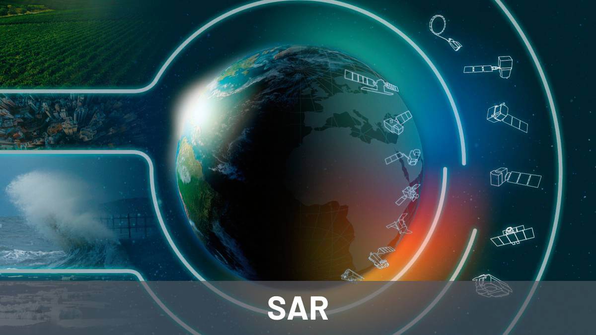
In this article you can find what synthetic aperture radar or SAR technology is, its importance and available data sources. You will also find details about what it is used for as well as available bands and their main characteristics.
What is synthetic-aperture radar (SAR)?
Synthetic Aperture Radar (SAR) is a type of sensor radar that allows taking high-resolution images from space.

SAR sensors could be used both during the day and night and they work even in cloudy days. They work by emitting electromagnetic waves in the microwave spectrum and receiving the reflected signal.
SAR lets capturing high quality images from space without being affected by clouds and can take pictures both at day and night.
By processing the echo of electromagnetic pulses, they are able to calculate or measure distances and construct high quality images of any surface.
What is synthetic-aperture radar used for? How is SAR used?
Images from SAR sensors are generally used to study the earth’s surface.
There are many SAR-based applications or use cases
Interferograms are obtained by measuring differences between two or more images of same location but taken at different moments. These images allow measuring deformations or displacements of the earth’s surface. This data is very useful for many use cases. For instance, to monitor any infrastructure and ensure its safety.
Interferograms are obtained by comparing two or more images of the same location
Known as InSAR or interferometric synthetic-aperture radar, it offers among other advantages the possibility of generating historical ground deformation information without the need for ground instrumentation.To generate past data, the archive of images from old SAR satellite missions are used. In the article linked at the beginning of this paragraph could be found more information about it.
In linked post we explained what interferograms are and in which directions we measure deformations and movements. We also discussed how we can decompose these movements on the vertical axis or in planimetry.

Other SAR use cases are infrastructure monitoring, glacier and snow melt monitoring, measurement of the effects of natural phenomena such as earthquakes and measurement of deforestation.
Synthetic-aperture radar missions
In this part of the article we’ll focus on the most important SAR satellite missions. Knowing this information is crucial if we want to work with SAR technology. Detektia uses data from these radar satellite missions on a daily basis.
We have grouped the SAR missions into three main groups: those that are operational today, those that are no longer operational and those missions that will be operational in the near future.
We will comment on the most relevant aspects of each one of them: spectrum band in which they operate, space agency, number of satellites in case of a constellation…

Operational SAR missions
Sentinel 1
The European Space Agency’s (ESA) Copernicus Earth observation program has developed the most impactful SAR mission to date. This mission is known as Sentinel-1 and it utilizes C-band synthetic aperture radar (SAR) technology. The mission comprises two twin satellites, Sentinel-1A and Sentinel-1B, which were launched in April 2014 and April 2016, respectively. Sentinel-1 builds on the capabilities of ERS-1/2 to provide data for emergency response services, land surface monitoring, and marine and atmospheric science applications.

Unfortunately, Sentinel-1B stopped providing data in December 2021 due to an electronic power supply failure. However, a new satellite, Sentinel-1C, is set to launch in the second half of 2023. Additionally, Sentinel-1D is also in the works with only minor modifications compared to its predecessors.
CosmoSkyMed
Cosmo-SkyMed (also known as Constellation of Small Satellites for Mediterranean Observation) is a series of four Italian radar satellite missions developed by the Italian Space Agency (ASI) and Thales Alenia Space. The first satellite, Cosmo-SkyMed 1, was launched in 2007, followed by Cosmo-SkyMed 2 in 2010, Cosmo-SkyMed 3 in 2012 and Cosmo-SkyMed 4 in 2014. Cosmo-SkyMed uses X-band SAR radar to acquire high-resolution images of the Earth’s surface for a variety of applications.
TerraSAR X
TerraSAR-X is a German radar imaging satellite developed by the German Aerospace Center (DLR) and Astrium (now Airbus Defence and Space). It has been operational since January 2008. The sister satellite TanDEM-X was launched in 2010 and both are still in operation.
PAZ
PAZ (also known as Peace Earth Observation Satellite) is a radar imaging mission developed by the Spanish company Hisdesat and operated by the Spanish Ministry of Defense. It was launched in 2018 and is still in operation. PAZ uses X-band synthetic aperture radar (SAR) and it is operated in collaboration with the European Space Agency (ESA) and other partners.
ALOS PALSAR 2
ALOS PALSAR 2 is a Japanese radar imaging satellite developed by the Japan Aerospace Exploration Agency (JAXA). It was launched in 2014 and is still in operation. ALOS PALSAR 2 uses L-band synthetic aperture radar (SAR). The mission is a continuation of the original ALOS PALSAR mission, which was launched in 2006 and operated until 2011. ALOS PALSAR 2 enhances the capabilities of its predecessor by offering improved image quality and increased coverage.
Radarsat-2
Radarsat-2 is a radar imaging mission developed by the Canadian Space Agency (CSA) and launched in 2007. It uses C-band synthetic aperture radar (SAR) to acquire high-resolution images of the Earth’s surface. Radarsat-2 improves on the capabilities of its predecessor, Radarsat-1, offering better image quality and greater coverage.
Non-operational SAR missions
ERS-1/2
ERS-1 (also known as European Remote Sensing Satellite-1) and ERS-2 (European Remote Sensing Satellite-2) were two radar imaging missions developed by ESA and launched in 1991 and 1995, respectively. ERS-1/2 used C-band synthetic aperture radar (SAR) to acquire high-resolution images of the Earth’s surface. The mission was a precursor to the Sentinel-1 mission.
ENVISAT
ENVISAT (also known as Environmental Satellite) was a multi-instrument satellite mission developed by ESA. It was launched in 2002 and operated until 2012. ENVISAT carried a C-band synthetic aperture radar (SAR) instrument called ASAR (Advanced Synthetic Aperture Radar). ASAR was a very versatile instrument that provided valuable data for Earth observation and detection of changes in the Earth’s surface. The Envisat mission, which included ASAR as one of its instruments, was an important milestone in the observation of the Earth from space and in the understanding of the processes taking place on our planet. ENVISAT was the largest and most complex Earth observation satellite ever built by ESA.
Radarsat-1
Radarsat-1 was a radar imaging mission developed by the Canadian Space Agency (CSA) and launched in 1995. It used C-band synthetic aperture radar (SAR) to acquire high-resolution images of the Earth’s surface for a wide range of applications. Radarsat-1 was a precursor to the Radarsat-2 mission.
Future SAR Missions
NISAR
NISAR (NASA-ISRO Synthetic Aperture Radar) is a joint radar imaging mission developed by NASA and the Indian Space Research Organization (ISRO). NISAR will be the first radar using two different radar frequencies (L-band and S-band) to acquire high-resolution images of the Earth’s surface for a variety of applications, including land cover mapping, topographic mapping, and natural and human hazard monitoring. NISAR is expected to be launched in January 2024.
Biomass
Biomass is a radar imaging mission developed by ESA. It will use P-band synthetic aperture radar (SAR) to acquire high-resolution images of the Earth’s surface for a variety of applications, including forest biomass measurement and land use monitoring. By combining multiple Biomass SAR images using interferometry, it will be possible to obtain highly accurate topographic maps of forested areas. Biomass will be launched in 2024.
ROSE-L
ROSE-L (Copernicus L-band Synthetic Aperture Radar) is a radar imaging mission developed by ESA. It will carry an active phased array synthetic aperture radar instrument. The radar antenna will be the largest planar antenna ever built measuring an impressive 11 metres by 3.6 metres. ROSE-L is in preparation and is scheduled for launch around 2028.
Microsatellites
Finally, it is worth mentioning the emergence of the private sector in the SAR industry. With the emergence of new-space, a number of commercial applications appeared. Six private companies are already present in this sector, with more coming. Among them, Capella, Synspective or predaSAR can be mentioned. The first SAR satellite belonging to this trend is ICEYE X1, a SAR satellite of 85 kilograms launched in 2018. In July 2021, 13 micro SAR satellites were already orbiting the Earth.
Available SAR band types
In optical remote sensing, the Sun illuminates the surface of the Earth with a full wavelength spectrum (of which a very small region we humans can see- the visible portion of the spectrum). The ground backscatters a part of the energy received.
The satellite picks up the backscattered signal and records the light intensity according to the sensitive spectrum of the sensor. Unlike optical remote sensing, SAR sensors generate their own radiation, with a given frequency and polarization, which is then backscattered by the ground and received by the sensor. This is why radar sensors can work day and night.
SAR sensors work both day and night because they generate their own radiation that is backscattered by the ground and received by the sensor.
So, in Radar remote sensing we have a series of bands between 1 and 40 GHz, each frequency having specific properties. In general, a signal reacts strongly with objects of geometries of size comparable to the wavelength used, determining the range of applications (topography, cryosphere, biomass, and so on).
| Band | Frequency | Wavelength | Characteristics | Typical Application |
| Ka | 27–40 GHz | 1.1–0.8 cm | Not very useful for SAR | Airport surveillance |
| K | 18–27 GHz | 1.7–1.1 cm | Not very useful for SAR | Airport surveillance |
| Ku | 12–18 GHz | 2.4–1.7 cm | Not very useful for SAR | Airport surveillance |
| X | 8–12 GHz | 3.8–2.4 cm | High resolution, low penetration, not useful in vegetated areas | Urban and infrastructure monitoring, ice and snow, weather |
| C | 4–8 GHz | 7.5–3.8 cm | Medium resolution, medium penetration, higher coherence | Change detection, ice, urban and infrastructure monitoring, maritime navigation, glaciers |
| S | 2–4 GHz | 15–7.5 cm | Experimental SAR, high penetration | Agriculture monitoring, Marine radar |
| L | 1–2 GHz | 30–15 cm | Medium resolution SAR, high penetration | Geophysical monitoring, biomass and vegetation mapping, soil moisture |
| P | 0.3–1 GHz | 100–30 cm | Experimental SAR, susceptible to ionosphere, No sensors yet | Biomass, tropical forest mapping, mapping, soil moisture |
Satellite SAR sensors use different frequency bands to collect data, each with its own characteristics and applications.

For example, in forestry, small wavelengths (X band) will be stopped by the canopy while long wavelengths (L to P bands) pass through the canopy and interact with the soil, trunks, or large branches. Of course, I would like to expand on my previous answer to provide more details on the different frequency bands used in satellite SAR sensors.
Let’s get to know the most commonly uses bands in SAR till now.

C-Band
C-band refers to the radar wavelength of 3.8-7.5 cm range. It is a moderate frequency band and is used in most satellite SAR sensors, including Sentinel-1 and Radarsat-2. The backscatter behavior of C-band is less predictable. Due to additional scattering effects, the layer of backscattering is less determined and does not correspond directly to a terrain surface i.e. neither the vegetation surface nor the ground surface. So in summary we can say that C-band has moderate penetration into vegetation cover and is capable of detecting objects up to a few meters in diameter. It is widely used for mapping applications, urban and infrastructure monitoring, deforestation monitoring, surface change detection and land use change studies.
X-Band
X-band refers to radar wavelengths in the range of 2.4 to 3.8 cm. It is a high frequency band and is used in satellite SAR sensors such as TerraSAR-X, COSMO-SkyMed and PAZ. The X-band has a lower penetration into vegetation cover, hence the energy of an X-band sensor is mainly returned at the top layer of the canopies but it is capable of detecting objects with a diameter of up to a few centimeters, hence it is considered high resolution. It is widely used for urban and infrastructure monitoring, ice and snow and weather monitoring.
P-Band
P-band refers to the wavelengths of the radar signal in the range of 30 -100 cm. It is a low frequency band and is typically used in missions with a higher penetration capability in vegetation and ground cover, it is capable of detecting objects with a diameter of up to several meters. It is used for mapping applications, deforestation monitoring, surface change detection and land use change studies, as well as for geological surveys, agriculture application.
L-Band
L-band refers to the L-frequency band, which generally lies between 15 and 30cm. Due to the low frequency used, the signal has a greater ability to penetrate vegetation and soil, allowing objects below these layers to be detected. L-band SAR instruments allows to measure surface deformation of vegetated terrain, soil moisture, land cover classification, crop type discrimination and its temporal analysis. Furthermore, it will monitor Polar ice sheets and ice caps, and the sea-ice conditions (i.e. type, drift, deformation, concentration, lead fraction), as well as contribute to the European maritime situational awareness. L-band data provides considerably more coverage, but at the expense of spatial resolution, for example while Sentinel-1 provides a spatial resolution of SR = 20 m x 5 m, ALOS can provide only 50 m x 50 m at best.
As for interferometry, it can be used with any SAR band. SAR interferometry (InSAR) is a technique that uses two or more SAR images to generate an interferometric image, which shows the phase difference in the SAR signal between the two images. Using this characteristic of different bands makes it possible to discern information as required by the application
We hope that we have answered all your doubts. If you have any further questions, feel free to leave us a message below so we can help you ↓↓↓