- August 2003 - April 2008
- Madrid (Spain)
- Ascending
- Envisat
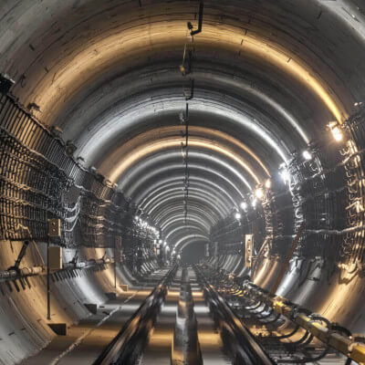
- Tunnels
In this study, an exhaustive validation of DInSAR deformation time series was carried out for the period of execution of the tunneling works of the M-30 southern bypass. A total of 26 Envisat satellite images were used from August 2003 to April 2008.
For the validation of the results, more than 1,500 field measurements from leveling and strip techniques were used. DInSAR technology has great potential as a complementary technology to in situ instrumentation and measurements, densifying the available information and helping to generate a more complete and extensive vision of the effects generated on the surface by this type of work.
An overall RMSE of deformation between 2.6mm and 3.5mm was obtained. The application of DInSAR technology in the monitoring of tunneling works in urban environments can provide great value both in the early detection of incidents and improving the management of the work, being a valuable tool to complement in-situ monitoring techniques in tunneling works.
At Detektia we make use of satellite InSAR technology to help you identify ground deformations and subsidence as those caused by the construction of the M-30. We can also help you to monitor other infrastructures: