This article aims to provide an in-depth analysis of key factors involved in the formation of sinkholes, ground subsidence, and terrain collapses—collectively known in English as sinkholes. In addition, we explore how InSAR technology contributes to improving their monitoring and control.
These phenomena occur across the globe and, as we will see, can develop in a wide variety of geological settings and be triggered by both natural and anthropogenic mechanisms.
In certain environments, the appearance of a sinkhole represents a critical risk due to its potential impact on human safety and the economic cost associated with repair and stabilization efforts. In this article, we delve into the causes, characteristics, risks, and current prevention systems used to address this complex issue.
At Detektia, we offer solutions based on satellite InSAR technology to help prevent the occurrence of various phenomena, such as:

If you’re interested in exploring how satellite technology can be used to assess the risk of new sinkholes, feel free to get in touch with us.
What is a sinkhole?
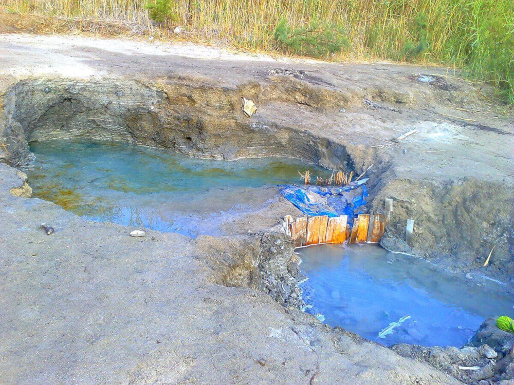
Sinkholes are enclosed depressions commonly formed by the subsurface dissolution of soluble rocks and/or the downward displacement of materials.
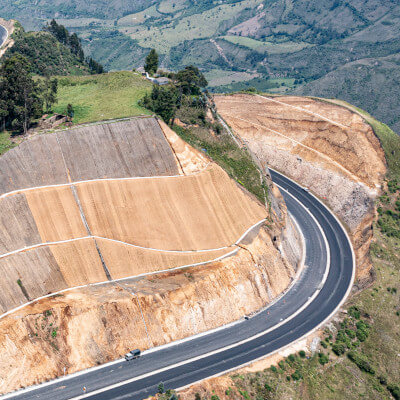
These processes can lead to ground settlement or sudden surface collapse. Regardless of the underlying mechanism, such phenomena pose a significant risk to infrastructure and buildings constructed over the undermined sediments.
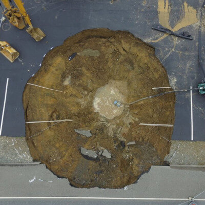
In extreme cases, collapses can occur catastrophically, impacting buildings, infrastructure, or people and causing fatal accidents, especially in urban areas and along transportation routes.
What causes sinkholes?
Sinkholes can form in a variety of geological settings due to different mechanisms, including both natural processes and human activities.
It is important to note that although sinkholes are characteristic of karst terrains — where they are commonly referred to as dolines or sinkholes — not all sinkholes occur in karst environments.
In karst terrains, the cause is the dissolution of soluble materials such as limestone, gypsum, or dolomite. In these areas, groundwater slowly dissolves the rock, creating underground cavities that can eventually collapse.
Sinkholes can also form in non-karst terrains due to prolonged water infiltration, which washes away soil particles and weakens the ground’s structural integrity.

In the case of human activities, there are several factors that can trigger the formation of sinkholes. These include excessive groundwater extraction from aquifers, the construction of underground infrastructure, leaking pipes in urban areas, mining operations, and more.
How do sinkholes form?
Below, we explore different types of sinkholes classified by terrain and origin, along with an analysis of the causes behind their formation.
Sinkholes in Karst Terrain
In karst areas, sinkholes form due to the dissolution of soluble rocks such as limestone or gypsum. Slightly acidic water dissolves these rocks along fractures and joints, gradually creating underground cavities.
When these cavities become too large, the roof can collapse, resulting in a sinkhole. Karst sinkholes can be classified into three main types: solution, collapse, and subsidence sinkholes.
Sinkholes in Other Geological Settings
Sinkholes can also form due to internal soil erosion, where water flowing through underground channels gradually carries away soil particles. This process is particularly common in alluvial deposits and unconsolidated sediments, leading to the progressive weakening of the ground and potential surface collapse.
Liquefaction-induced sinkholes occur when water-saturated soil loses strength and stiffness due to an external force, such as an earthquake. This phenomenon, known as soil liquefaction, causes the ground to behave like a liquid, making it incapable of supporting surface structures, which can lead to ground collapse and sinkhole formation.
In clastic soils, internal erosion can create underground voids that result in sinkholes. These processes are often associated with the emergence of water and gases from below the surface.
Anthropogenic sinkholes
Human activities, such as tunneling or underground excavation, groundwater extraction, and construction on unstable ground, can cause or accelerate the formation of sinkholes. These sinkholes can occur even in areas without soluble rock formations.
Leaking pipelines in urban areas can increase water infiltration into the subsurface, triggering or reactivating sinkholes.
Sinkholes can also result from the instability of man-made underground cavities, such as abandoned mines, quarries, or catacombs.
Sinkholes in mantled terrains
Sinkholes can form in areas where karst rock is covered by unconsolidated sediments. In these cases, surface collapse or subsidence may not be directly caused by the dissolution of the underlying rock, but rather by internal erosion processes or the collapse of underground cavities.
Sinkholes can also develop in non-soluble rocks when these overlay soluble rock layers.
As we’ve seen, the presence of soluble rock is not the only determining factor in the formation of a sinkhole. Other factors, such as human activity, internal erosion, and soil liquefaction, can also contribute to their development.
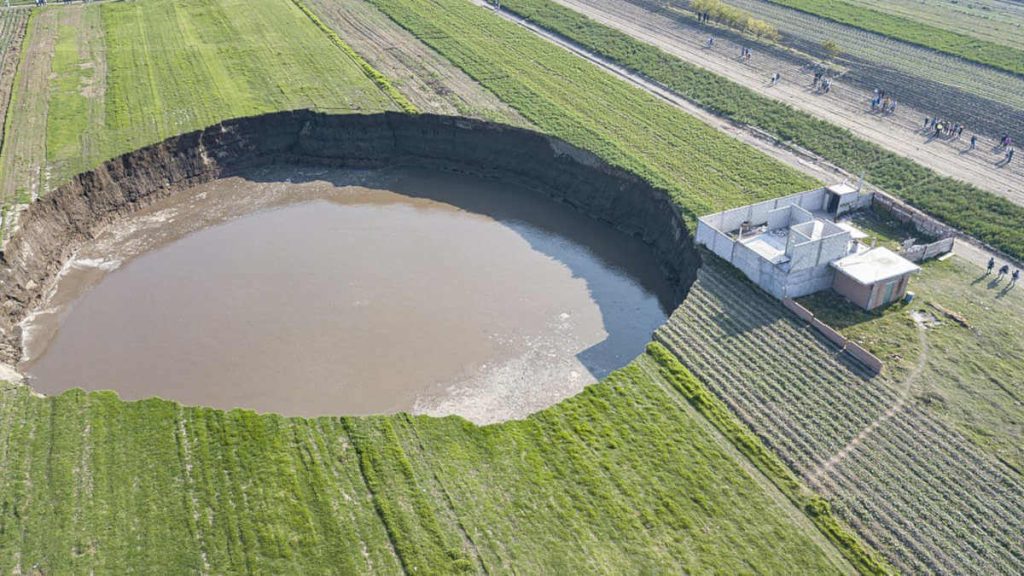
Examples of Sinkholes Around the World
Sinkholes Occur in Various Regions Worldwide, each shaped by distinct geological conditions and formation mechanisms.
Here are some illustrative examples that showcase the diversity of settings and processes leading to sinkhole formation across the globe:
Apulia Peninsula (Southern Italy)
In this region, sinkholes are particularly common in Salento, the southernmost area composed of Jurassic and Cretaceous limestones and dolomites overlain by Tertiary and Quaternary clastic carbonates and interbedded clays.
These sinkholes are among the most characteristic landforms of the area and are often referred to locally as “vore.” Hyperkarst processes at the interface between seawater and freshwater aquifers are known to enhance their development.
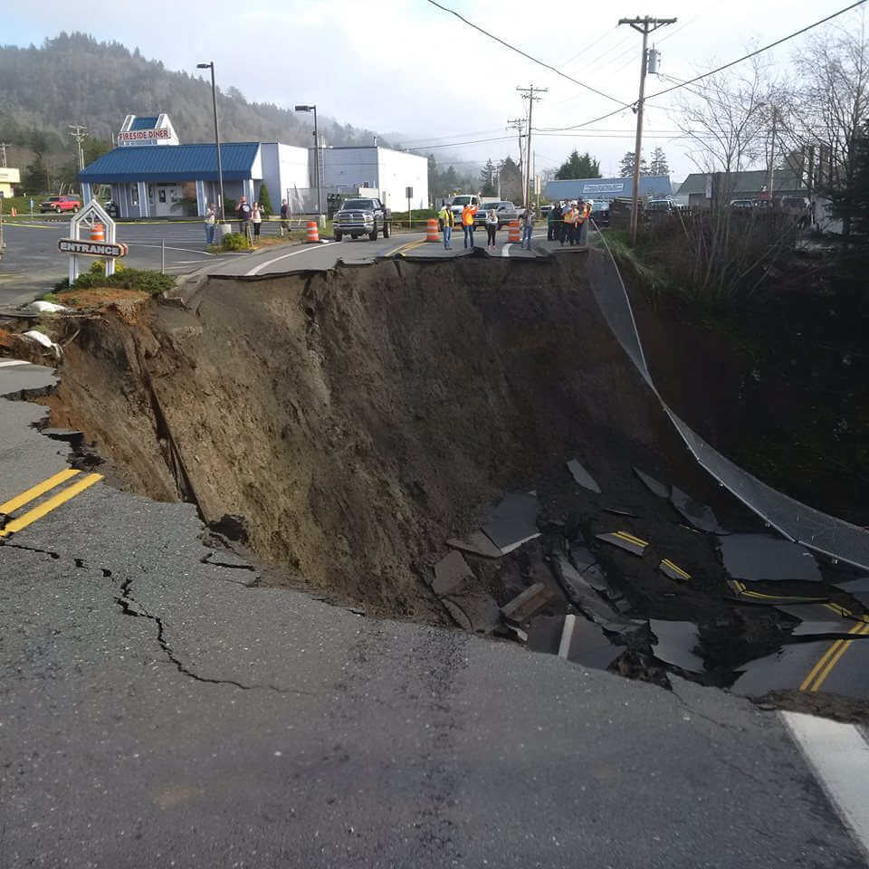
Bottomless Lakes State Park, New Mexico, USA
This region is marked by sinkholes formed through the collapse of cave ceilings. The resulting depressions are often filled with groundwater, forming natural lakes.
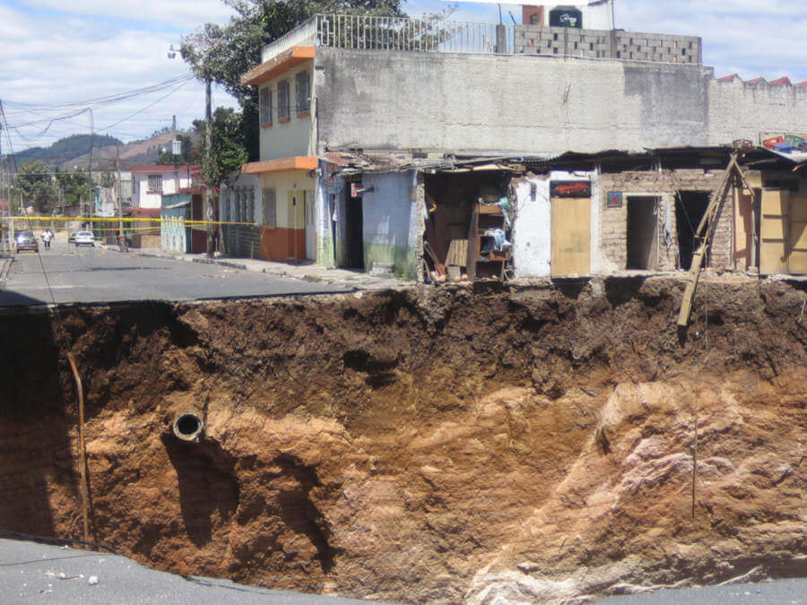
Guatemala City, Guatemala
On February 22, 2007, a massive sinkhole opened in the San Antonio district of Guatemala City, caused by the collapse of underground cavities. This event created an enormous vertical shaft that captured global attention due to its dramatic appearance and urban setting.
In May 2010, in the Ciudad Nueva neighborhood of Zone 2 in Guatemala City, a sinkhole formed as a result of heavy rainfall brought by Tropical Storm Agatha. The event left behind these striking and dramatic images:
@dani3palaciosdj #FIESTAPARANORMAL En el año 2010, en la colonia Ciudad Nueva (Guatemala), se produjo un hundimiento de tierra a causa de las fuertes lluvias provocadas por la Tormenta Tropical Agatha. El agujero media 20 metros de diámetro y cerca de 30 metros de profundidad…. pic.twitter.com/FGywYaFqjA
— Alba Salcedo Caldas (@AlbaSalcedoCald) July 20, 2018
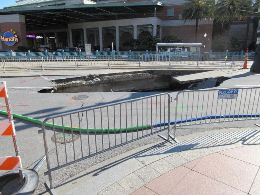
New Orleans, United States
Due to its location between the Mississippi River and Lake Pontchartrain, this American city is built on swampy ground, and a large portion of it lies below sea level. This characteristic makes the city vulnerable to flooding and prone to the formation of sinkholes.
Dead Sea Coast (Israel and Jordan)
The formation of sinkholes along the Dead Sea shores is attributed to the collapse of cavities formed by the dissolution of underground salt layers. This occurs due to the replacement of hypersaline groundwater with freshwater as the Dead Sea water level declines.
Ebro Valley (NE Spain)
Sinkholes in this region are linked to the dissolution of evaporites (gypsum, anhydrite, halite, and glauberite) from the Zaragoza Formation, dating from the Late Oligocene–Miocene. Subsidence in the Ebro and Gállego valleys is largely associated with the interbedded dissolution of halite and glauberite. Active sinkholes and large composite depressions can be easily identified and characterized using satellite-based InSAR technology due to their distinct concentric deformation patterns.
The screenshot below shows a map of average settlement velocities in mm/year, calculated using InSAR technology for a specific area of the Ebro Valley. On the right, both deformation metrics and a graph of vertical and East-West planar deformation evolution are displayed for a specific building (highlighted in blue on the map).
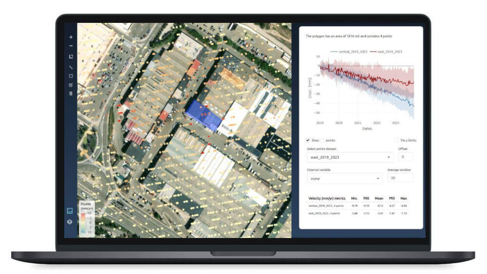
More information about the analysis carried out by Detektia on sinkholes in the Ebro Valley: https://detektia.com/en/insar-ground-movement-monitoring/sinkholes/ebro-valley/.
Friuli Venezia Giulia (Northeast Italy)
This region is one of the most affected areas in northern Italy, with 1,199 sinkhole events recorded only in evaporitic rock beds. Sinkholes are well-known natural phenomena dating back to the late 19th century and represent a serious threat to man-made structures.
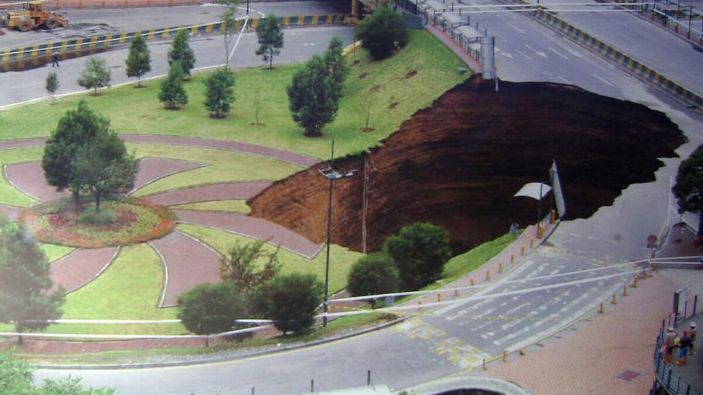
Sinkholes in the cities of Quito and Portoviejo (Ecuador)
In 2008, the area known as El Trébol in Quito experienced a gigantic sinkhole, which resulted in this spectacular image:
During the Pedernales earthquake in Ecuador in 2016 (magnitude 7.8), the city of Portoviejo experienced liquefaction phenomena that led to ground subsidence and the formation of sinkholes, severely affecting the local infrastructure.
Holbrook basin (Arizona, EE. UU.)
Salt dissolution in the area has resulted in over 500 sinkholes and numerous geomorphic changes related to subsidence. More than 25 land subsidence features were detected, covering an area of over 3,600 km².
Monitoring and predicting sinkholes with InSAR technology
Slow ground subsidence prior to a sudden collapse suggests that these highly dangerous phenomena can be anticipated by detecting precursor displacements. This is where InSAR technology brings significant value in monitoring these complex processes.
Satellite-based Synthetic Aperture Radar Interferometry (InSAR) is an effective tool for precisely monitoring the evolution of millimetric ground deformations over time, with high spatial coverage.
InSAR makes it possible to detect subtle ground movements that may serve as precursors to the formation or collapse of sinkholes.

In addition, deformation time series obtained through InSAR can be used to analyze and model the impact of various factors on sinkhole activity, such as earthquakes, changes in the water table, flooding, irrigation, and rainfall events.
InSAR technology has proven capable of measuring precursor deformations that anticipate the appearance of sinkholes in areas with a high density of these phenomena, such as along the Dead Sea in Israel and in the Ebro Valley in Spain.
In many cases, ground deformations have been observed prior to collapse, occurring anywhere from a few days to several years before the event.
The most effective strategy to reduce the risk associated with these processes is to identify and avoid areas of higher susceptibility, which is achieved through mapping inventories and hazard models.
InSAR is also a key tool for the development of sinkhole susceptibility maps.
The integration of InSAR techniques with geological models and Machine Learning enables the creation of sinkhole susceptibility maps, which are crucial for route selection, planning, and the construction of major transportation infrastructure, as well as for site selection in regions prone to these phenomena.
Some concrete examples of InSAR applications in sinkhole studies include:
- Dead Sea: InSAR data has been used to study subsidence induced by salt dissolution along the Dead Sea coast, identifying subsidence rates ranging from 5 mm/year to 20 mm/year in large shallow depressions.
- Ebro Valley: InSAR has been employed to measure ground deformation caused by sinkholes, mining subsidence, and landslides in the Ebro Valley. More information can be found in this ResearchGate paper.
- Holbrook Basin, Arizona: Interferometric techniques have been used to detect subsidence related to karst activity.
Despite its advantages, InSAR also has limitations, such as temporal and geometric decorrelation of the signal, especially in areas with dense vegetation, erosion, changing moisture conditions, or high deformation rates.
To overcome these limitations, advanced processing techniques have been developed, which we discuss in other articles.
Atributions
- BBC article on how NASA uses satellite InSAR technology to prevent sinkholes: https://www.bbc.com/mundo/noticias/2014/03/140311_socavones_radar_nasa_rg
- National Geographic article about the formation of giant sinkholes: https://www.nationalgeographic.es/medio-ambiente/socavon-gigante
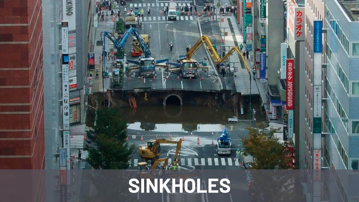
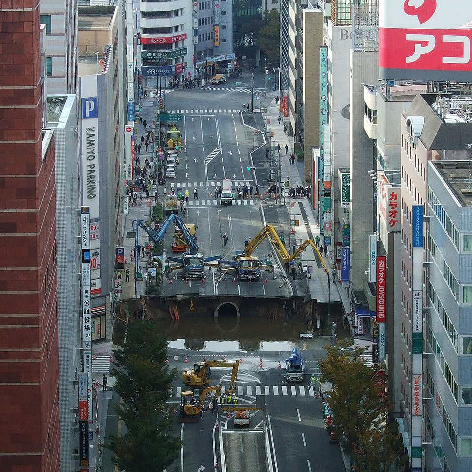
- Cover image (before being edited by Detektia) downloaded from Wikimedia Commons: https://commons.wikimedia.org/wiki/File:Hakata_sinkhole_20161109.jpg
- Satellite image downloaded from Freepik: https://www.freepik.es/imagen-ia-gratis/tierra-vista-espacio_47990978.htm