- July 2008 - December 2009
- Barcelona (Spain)
- Ascending
- TerraSAR-x
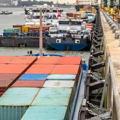
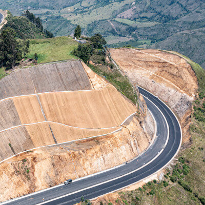
- Ports
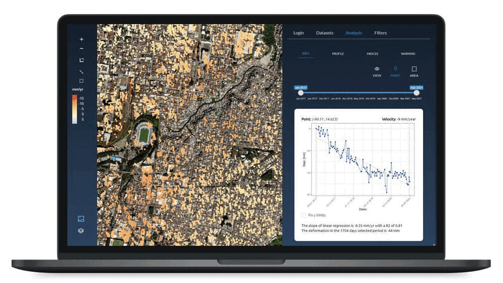
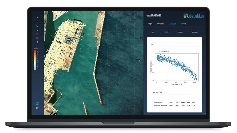
In this case, the use of an X-band SAR sensor on the Barcelona port infrastructure allows obtaining a high point density (more than 6000 points/km2). As can be seen in the image, this high resolution describes the evolution of the geometry of breakwaters and other port infrastructure with a high degree of detail and millimetric precision.
DInSAR technology combined with the AI layer developed by Detektia allows assessing the conditions and vulnerabilities of the infrastructure at the present time. Within the framework of conservation and maintenance, our solution provides information on pavements, esplanades and all the infrastructures that are already executed.

It also supports investment decision-making by prioritizing those infrastructures that most urgently need maintenance work. It also adds value in the design and execution of maritime works as it provides information on the past evolution of the physical environment, anticipating the geotechnical behavior of the terrain.
At Detektia we use satellite InSAR to offer continuous monitoring and control solutions for port infrastructures such as the port of Barcelona. We also help to monitor other infrastructures such as:


Discover the full potential of EyeRADAR